AIPersonic delivers incredible value in superb quality training data for geospatial models. This way, they can detect and extract real-life objects from geospatial or aerial imagery. We have proven processes and cutting-edge tech that uses computer vision and machine learning for a range of use cases.
Our ai geospatial annotation services help label roads, buildings, land features, and other map data features to train your AI systems.
We create accurate labels for photos, satellite images, and map data. Our professionals outline boundaries and label land use. We also label roadways, bridges, and natural areas like forests and water bodies.
From small local maps to global data sets, we provide clean, accurate map information that AI needs to learn about our world. This is how we help extract raw map images into useful information.
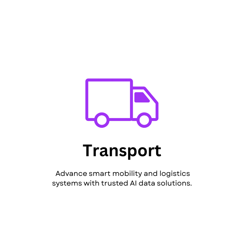
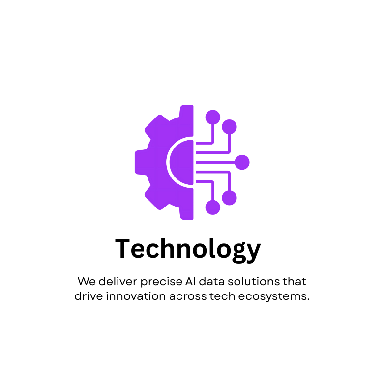
Industries Benefiting from Geospatial Annotation Services
Organizations utilize our geospatial annotation to understand spatial relationships. They can also optimize resource distribution and create more intelligent location-aware applications and services.
The AIPersonic Advantage in Geospatial Annotation Services
You can extract more value from AI-drive geospatial analytics with our expertise. We use human intelligence complemented by AI tools to give you high-quality output.
Our quality control procedure entails multiple reviews to ensure your data is correctly labeled. We work with all types of maps and data structures, so our service is ideal for any map AI project.
Be it predictive modeling, terrain mapping, or image recognition, our geospatial annotation services are equipped to give you an edge in training AI models for a range of solutions: Infrastructure planning , Smart city development, Security surveillance to track movements, Border monitoring, Construction progress tracking with IoT-integrated geospatial data
Contact AIPersonic to learn more about our geospatial annotation services. We can easily schedule a call to answer any of your questions.
FAQ
What types of map data are you able to annotate?
We work with satellite images, air photographs, GIS data, street maps, and LiDAR data. Our team can process 2D and 3D map data in many formats.
How accurate are your map annotations?
We obtain high resolution through careful training and multiple quality checks. For jobs needing very accurate measurements, we can customize them to your needs.
Can you work with old images to identify changes?
Yes! We can annotate images captured at different times using the same labels. This gives good training data for AI systems that identify changes in land over time.